
David Goldwasser explain how to use GPS technology to have your pictures automatically showing up as pins on a map or an aerial photograph, thus reminding you were they were taken.
As you are snapping, your GPS receiver makes a digital trail of your movements. Then when you’re back on the computer, a topo map or aerial photograph is pulled from a terraserver on the Internet, and your shots show up on the map as clickable links to your photographs.
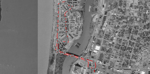
All the details of the process in MacDevCenter.